Mapping
Mapping out large areas is traditionally adapted for manned aviation. But what happens when a project concerns a smaller scale? How do you map out a smaller area without spending a lot of resources?
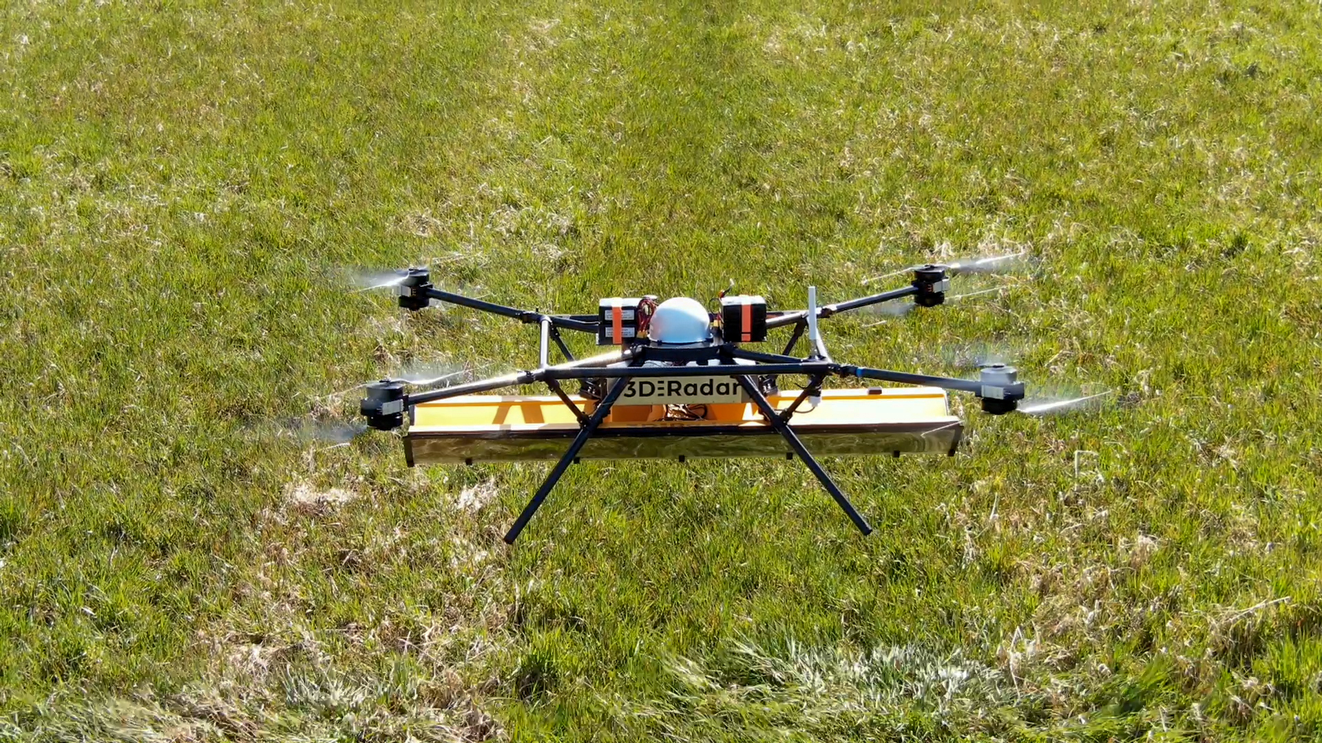
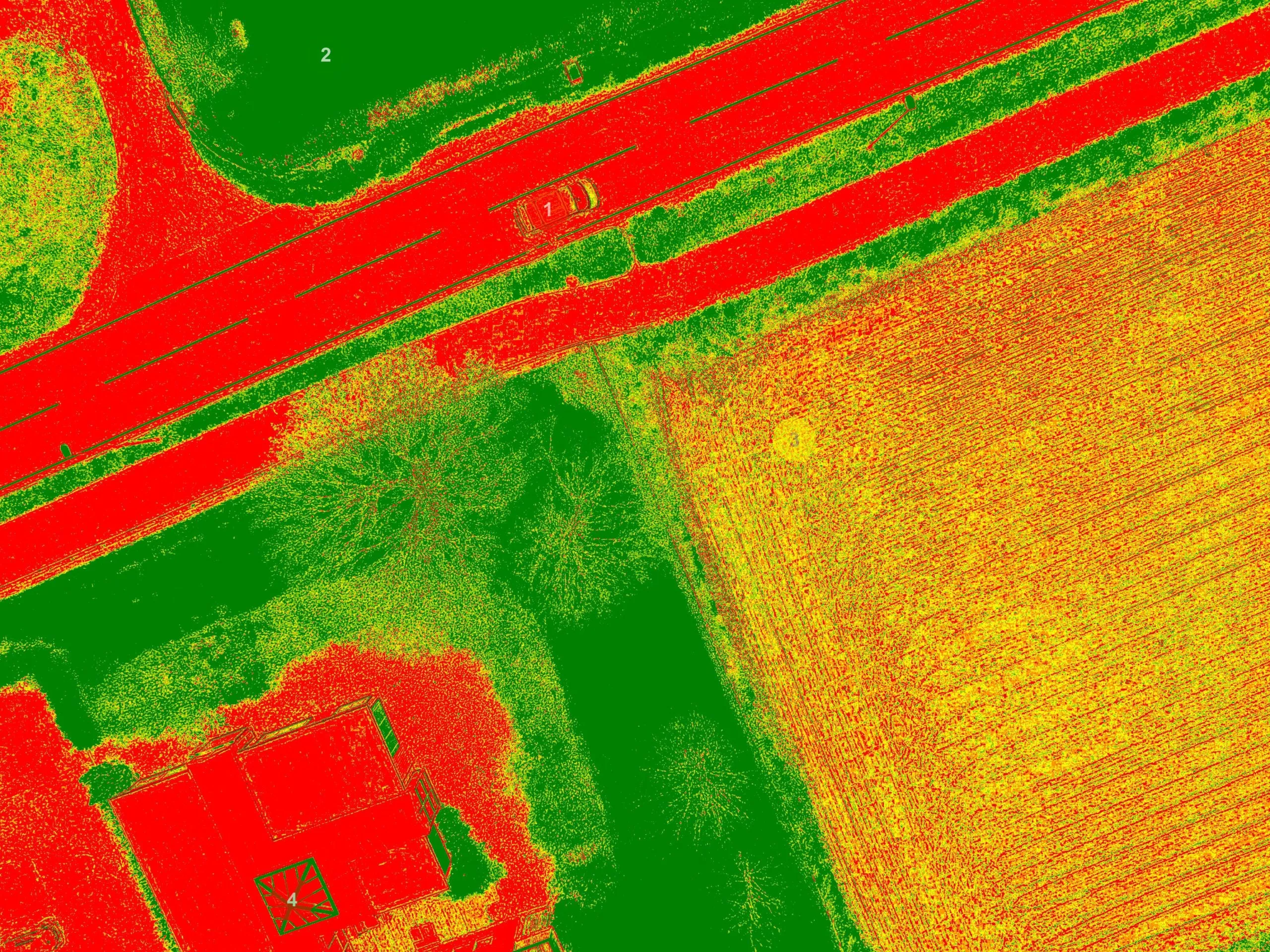
More frequent, greener and detailed laser data when using drones!
The same requirements as faced by manned aviation. Our drone-collected data was among the first in Norway to be delivered on hoydedata.no. This is the portal used to access to free height data from laser in Norway. Laser mapping with drones is a tool that has opened up the opportunity to collect high-quality data on small and medium-sized project. Procurement with manned systems today is very expensive and has a relatively low point density.
Drone Mapping is Here to Stay. Here’s Why.