AR GIS Software
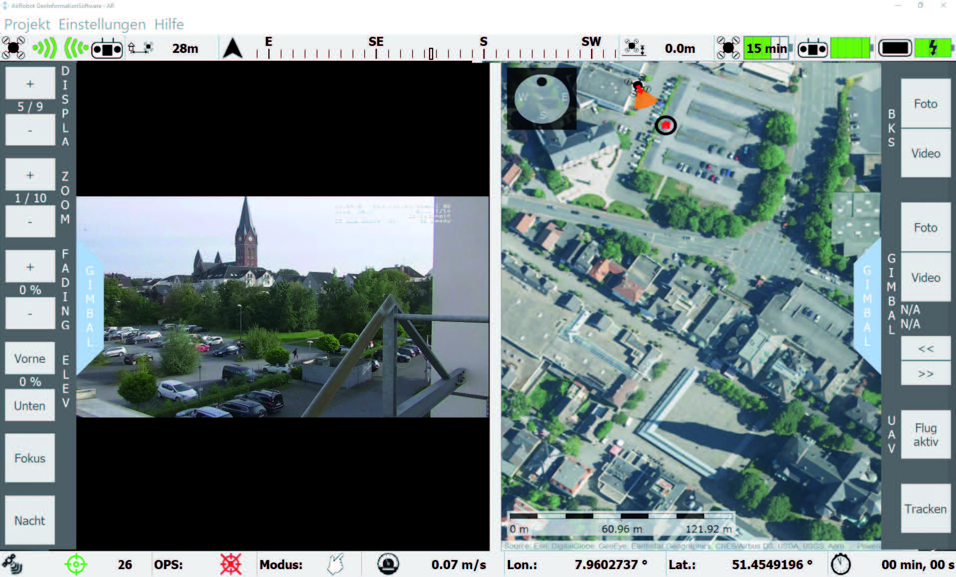
The AirRobot GIS is a central part of the GCS HD. It shows live video and offers a map-based navigation basis for planning and real-time monitoring of the mission.
Designed for the special forces
The AirRobot GIS has been continuously advanced in cooperation with the user base. The software automatically adapts the payload operability buttons to the currently connected payload.
The man-machine interface is clearly and intuitively designed so that the entire AR100-H system can be safely used under an increased stress level due to the mission environment.
In combination with the duo micro gimbal HD, the user can choose whether the live video is recorded on the GCS HD, the gimbal itself, or not at all. In any case, the video data is protected by encryption.