NUView
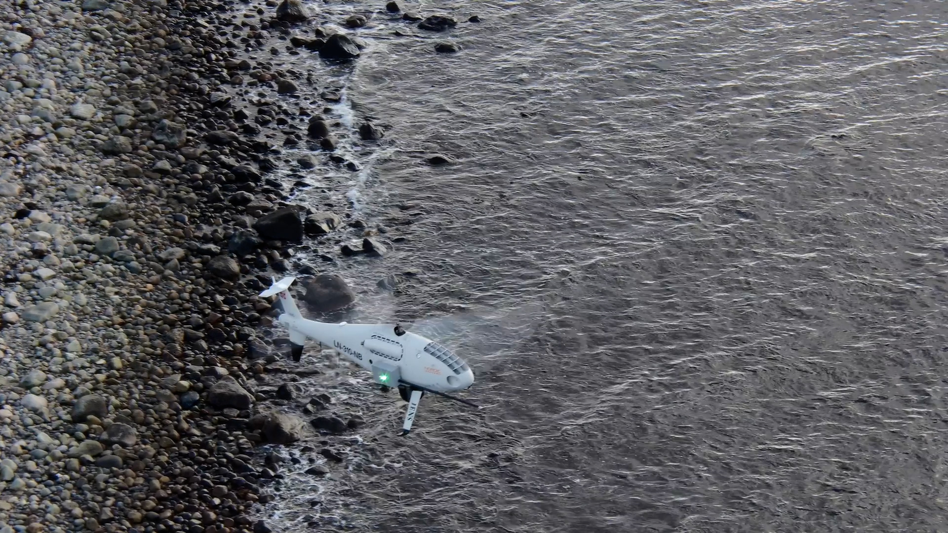
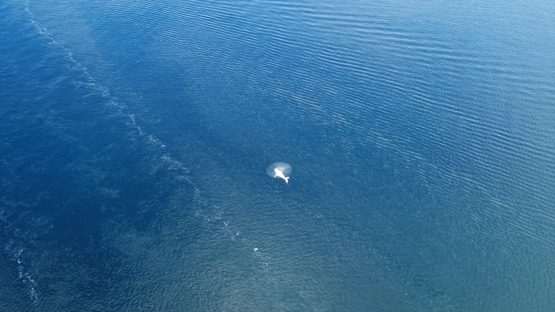
NUView is a data storage solution developed by NORCE for Nordic Unmanned. NUView is based on a data collection and handling system where images and videos can be geolocated according to the INS and GNSS navigation system of the drone while flying a mission.
Helping you face challenges in new ways
Data registered and metadata are transmitted to the ground control system (GCS) instantly. The data collection system will couple the data and metadata to accurately geolocate images and videos to be analysed inreal time.
The system can be set up to work both locally, in coordination with staff in GCS, and to stream data online if an internet link is provided by the hosting entity.
Recorded mission data is stored in a database allowing other users (i.e. other ships in an oil spill clean-up operation) to request data based on temporal and spatial area of interest. The information is made available in a format compatible with most GIS systems and can be directly viewed in the NUView web-based operation monitoring system.
The web-based system can visualise both archived and real time UAV missions in 3D. Visualising archived data essentially means turning the clock back and selecting a time frame window to view an old mission. Presently, NUView is most used as a video streaming tool to watch the current flight mission.