Terrasolid
Terrasolid develops software for processing airborne and mobile LiDAR data and images. The Terrasolid applications provide versatile and capable tools for surveyors, civil engineers, designers, planners, … – for everyone who needs to process and utilize 3D LiDAR data and images.
LiDAR processing software
Most of the Terrasolid applications are built on top of Bentley software.
Terrasolid offers full and light versions of its software products which can be combined in packages tailored for your specific working requirements. In addition, bundles of Terrasolid’s UAV versions are dedicated to customers that are processing only data collected by Unmanned Airborne Vehicles.
Avaliable as Perpetual, Network or Subscription license. Educational discount available.
TerraScan
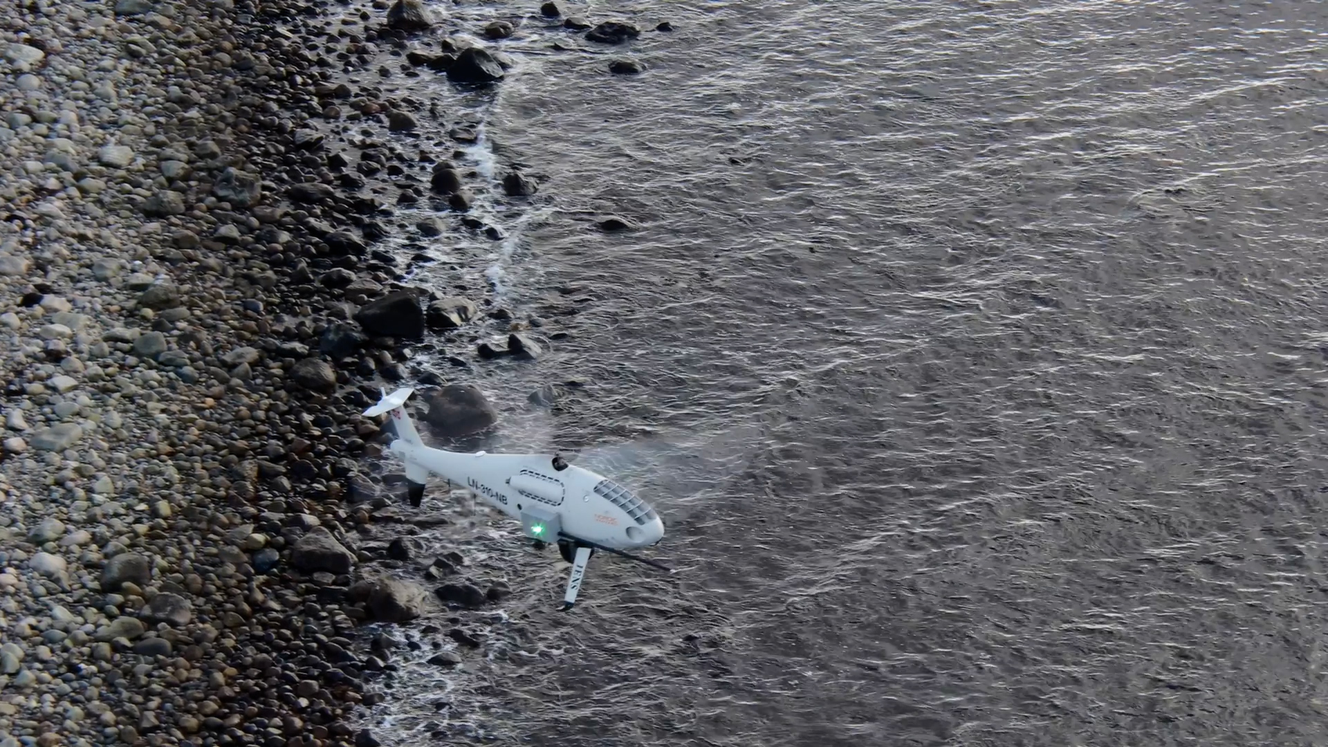
TerraScan is the main application in the Terrasolid Software family for managing and processing LiDAR point clouds. It offers import and project structuring tools for handling the large amount of points of a laser scanning campaign as well as the corresponding trajectory information. Various classification routines enable the automatic filtering of the point cloud. The results from the automatic classification can be refined by using half-automatic and manual classification tools in combination with versatile 3D point cloud visualization options.
TerraMatch
TerraMatch is a sophisticated tool for improving the accuracy and quality of the raw laser point cloud. It compares laser data from overlapping flight or drive paths and calculates correction values for the misalignment angles as well as xyz location errors. The comparison and correction value calculation can be either based on surface matching or on different types of tie lines. Tie line matching comprises points or lines on horizontal, vertical or sloped surfaces that can be used for matching flight/drive paths to each other, but also known point or line locations that enable the adjustment of the laser point cloud to control measurements.
TerraModeler
With TerraModeler you can create, edit and utilize surface models. TerraModeler creates surface models (TINs) from various sources, such as LiDAR points stored in binary files or loaded in TerraScan, XYZ ascii files and graphical design elements. The software offers versatile visualization options including colored shaded surfaces, contour lines, grids, colored triangle nets, elevation texts, slope directions and textured surfaces (in combination with TerraPhoto). Additional functionality includes the production of contour lines and lattice models in batch processing, modification of the TIN, creation of profiles, calculation of volumes, calculation of elevation or volume differences between two surface models, several labeling options as well as other tools for design purposes. Completed with various export options, TerraModeler is a versatile tool for many kinds of design and modeling tasks.
TerraPhoto
TerraPhoto is specifically developed for processing images captured together with laser data during a survey mission. The software enables the production of rectified images and ortho mosaics based on ground model that has been extracted from the laser data. The positioning of the source images can be refined by using tie points for image-to-image adjustment while ground control point can be involved for improving the absolute accuracy of the image block. With additional functionality, such as color adjustment options, the creation of selection shapes for several object types or areas (e.g. buildings, water), the inclusion of vector models for true-ortho photo production, TerraPhoto lets you create ortho photos of good positional and color-coordinated quality.
TerraPhoto offers many tools for visualizing laser and image data together, partly in combination with tools from TerraScan and TerraModeler. This includes the opportunity of draping ortho photos on a ground model or on building roofs, the creation of wall textures from horizontally-looking cameras of mobile or airborne systems, as well as the display of rendered views. With TerraPhoto you can also create fly-through animations from laser and image data in an easy and intuitive way. Finally, the extraction of color values from images or ortho photos to laser points can be performed with TerraPhoto and TerraScan.