Mapping out large areas is traditionally adapted for manned aviation. But what happens when a project concerns a smaller scale? How do you map out a smaller area without spending a lot of resources?
That was the basis for this Geovekst forum project
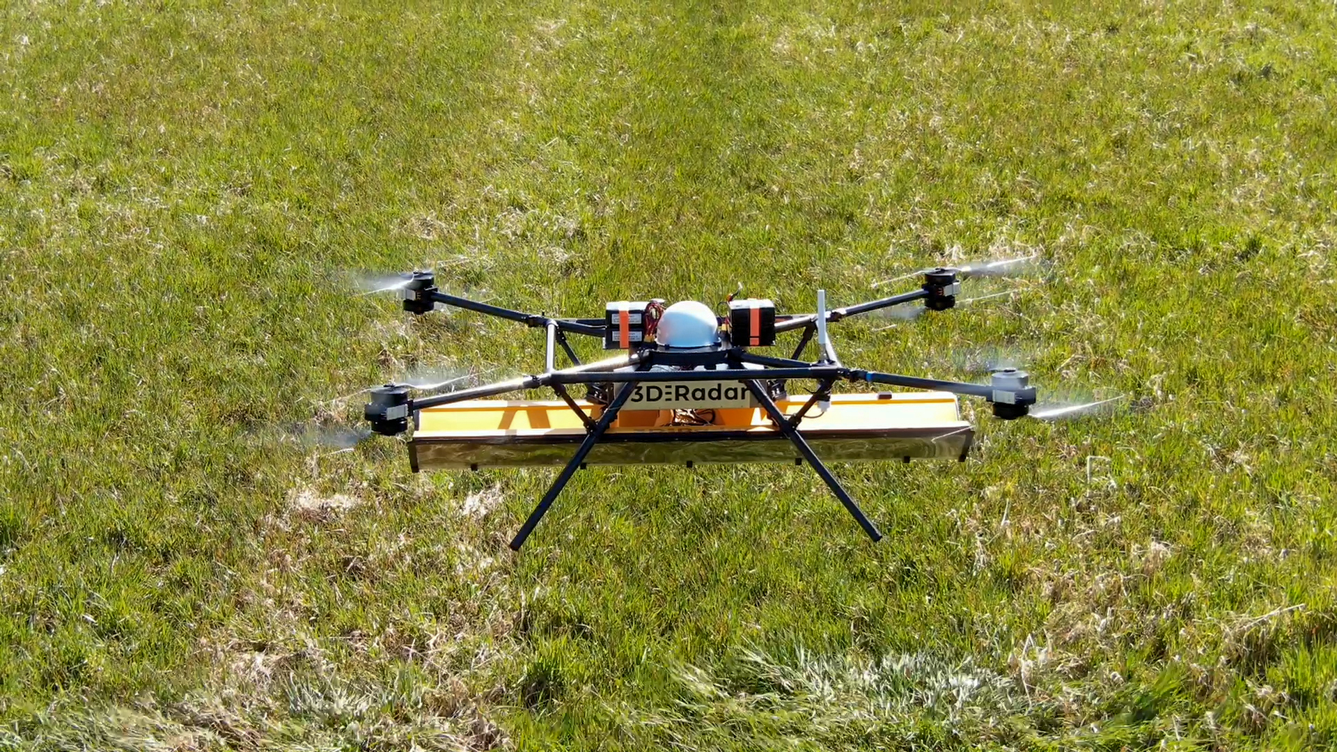
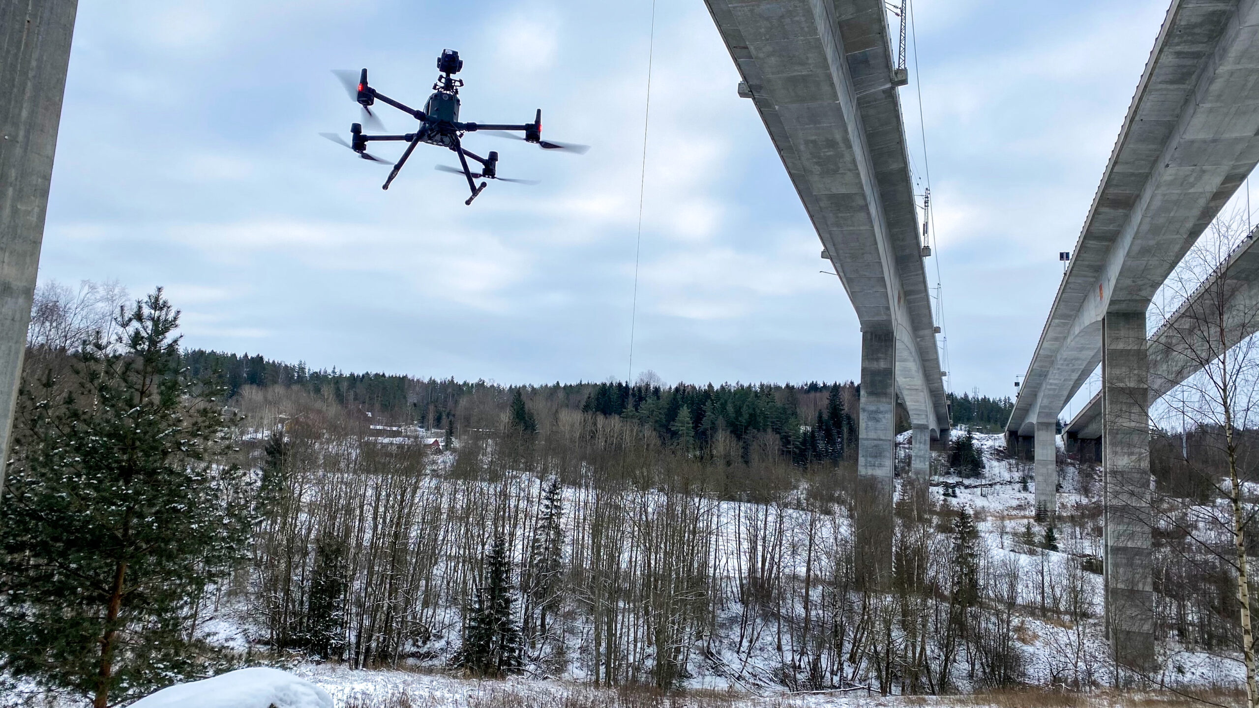
The project area was set to Hommersåk, Sandnes. The activity ahead was an efficiency test of a laser drone with “beyond visual line of sight” flying. One of the main points of the project was to test out mapping with an unmanned aircraft which was out of sight of the pilot/observer, whilst carrying out the survey in a safely and efficient manner.
Geovekst forum by Kartverket has done other projects which you can read about here.
As pointed out by Sandnes municipality themselves: “The hope is that drones can contribute to more frequent, environmentally friendly and cheaper mapping for all Norwegian municipalities.”

Drones opens up the possibility of mapping of small and medium sized areas
Product line manager at the Topometrics division Ole Benjamin Wike, at Nordic Unmanned had the following to say about the test project:
“The most interesting part for us has been to perform a successful efficiency test over an area of 10 km2 with a multicopter and at the same time follow the strict requirements for data delivery. The same requirements as faced by manned aviation. Our drone-collected data will be among the first in Norway to be delivered on hoydedata.no. This is the portal used to access to free height data from laser in Norway. Laser mapping with drones is a tool that has opened up the opportunity to collect high-quality data on small and medium-sized projects. Procurement with manned systems today is very expensive and has a relatively low point density.”
More frequent, greener, more detailed and less expensive laser data when using drones!
In relation to the requirements given, Nordic Unmanned delivered a point density that was over four times better than the specification. (The requirements were 5 points per square meter, Nordic Unmanned delivered over 20), as well as an accuracy that was better than the requirements (below 5 cm).
This shows how mature the technology has become.
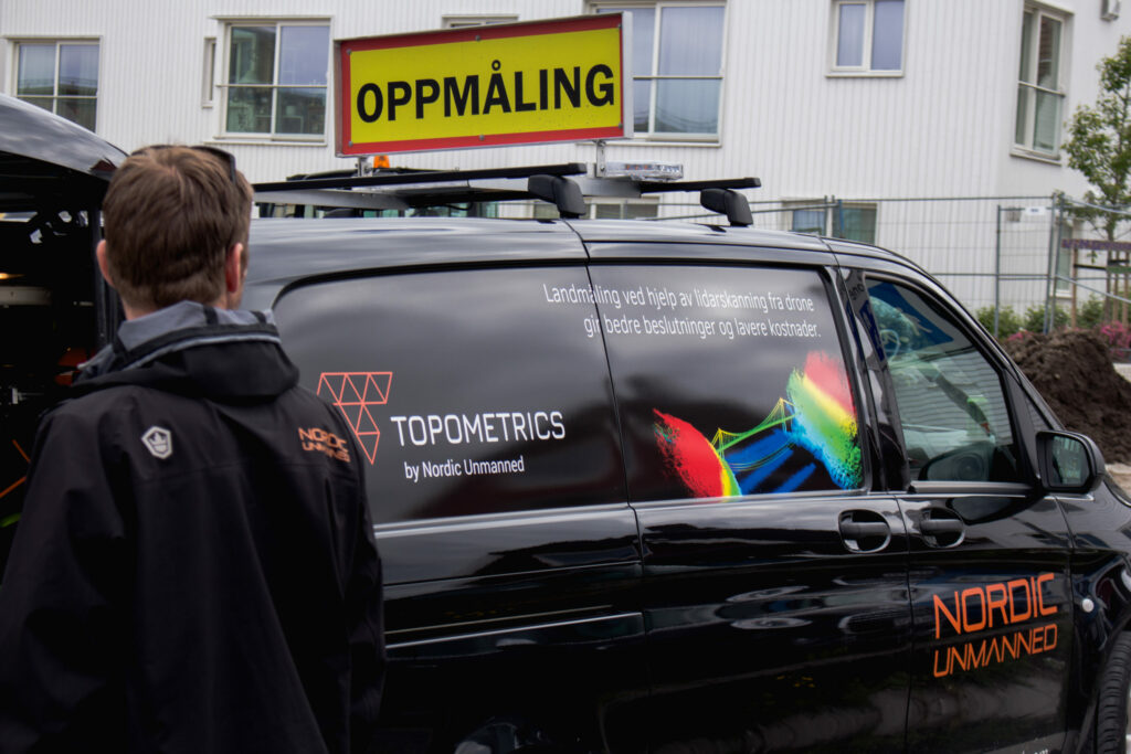
Interested in reading more about Topometrics’ mapping services?
More articles related to the Geovekst Forum test project: