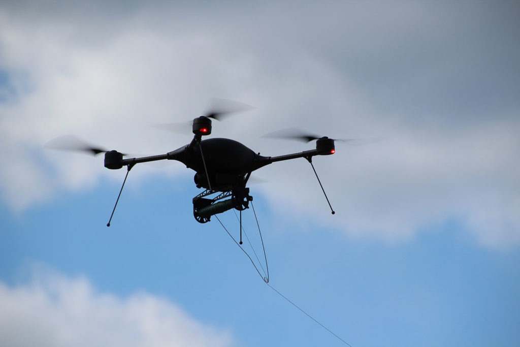
Topometrics
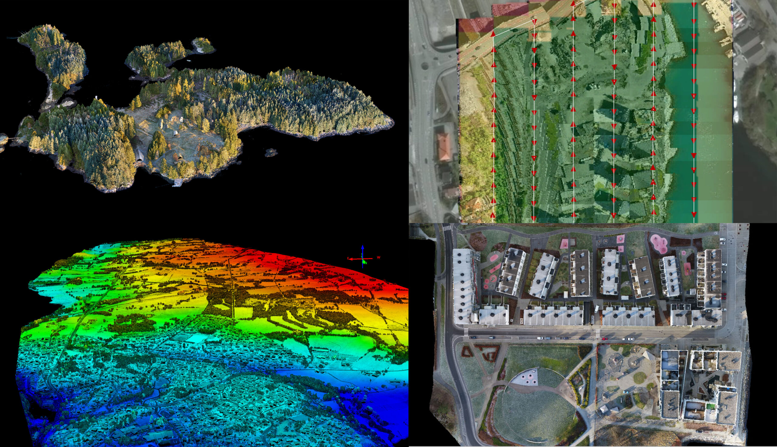
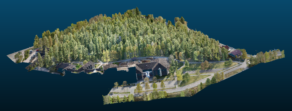
We specialize in the delivery of high-resolution point clouds generated from laser mounted drones. The great advantage of laser scanner, as opposed to photogrammetry, is that you get very detailed and accurate terrain models even in dense vegetation, as well as high accuracy straight out of the box. Furthermore, you get an instant point cloud in front of you while scanning. This is especially useful in situations where customers need immediate data, for example when surveying floods or exposed areas.

LiDAR-scanning
LiDAR scanning with accuracy of 2-4 cm finished processed and calibrated. Delivery of point cloud within 2 business days after flight.
LIDAR-scanning+
LiDAR scanning with accuracy of 2-4 cm finished processed and calibrated. Delivery of colored and classified point cloud within 3 business days of flight. Other products such as Orthophotos, Terrain Models, Kotekart etc. can be added according to the customer’s needs.
Photogrammetry
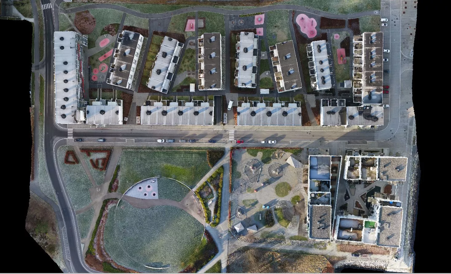
We deliver pre-processed point cloud with 2-5 cm accuracy and a ground resolution of 1-5cm. Delivery of point cloud and orthophoto within 4 business days of flight.
Thermo Scan
A thermal camera has many uses. To mention a few; building inspection, site monitoring, search and rescue, or scanning large areas to check for energy loss.
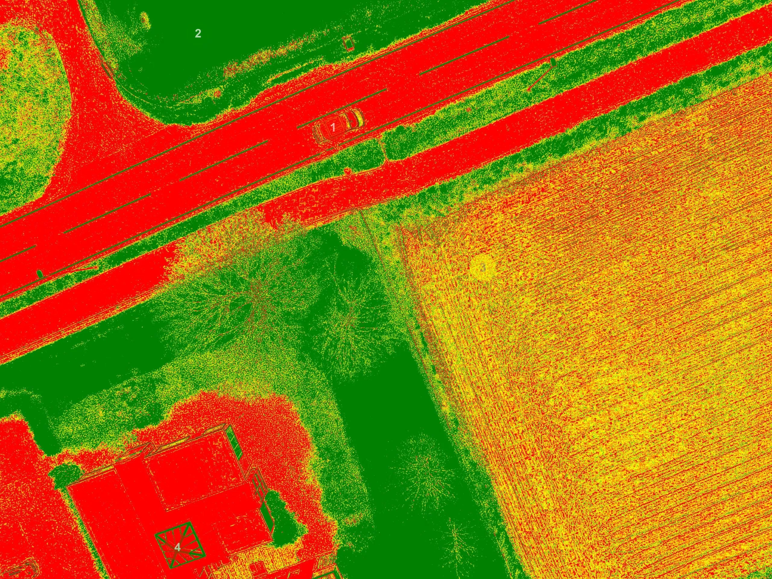
Multispectral scanning
We also offer multispectral mapping. This can, among other things, be used to monitor drought, predict agricultural production, assist with hazardous fire zones or analyze land before and after excavation during major developments.